Doug Heslep Fine Art Logo

California

When it comes to spectacular landscapes within the United States, it’s hard to deny the natural beauty of California. The coastline and ocean views, beaches, mountains, waterfalls, national parks, and sunsets, make it a unique place to visit, and of course, photograph.

Welcome to the LANDSCAPE SIGNATURE COLLECTION for the California Gallery. This is compilation of
our favorite images now currently available in open and limited edition prints.

Be sure to check out the Nevada and New Mexico print pages as well!

*All images on this website are available for purchase in print. If you are interested in a particular image from the Gallery Section that is not presented below, fear not! Without any obligation, just reach out to us with the image title and any special request you might have. We will promptly reply with print options and ordering instructions.

The categories below are in alphabetical order. Scroll and enjoy the view!

Avila Beach

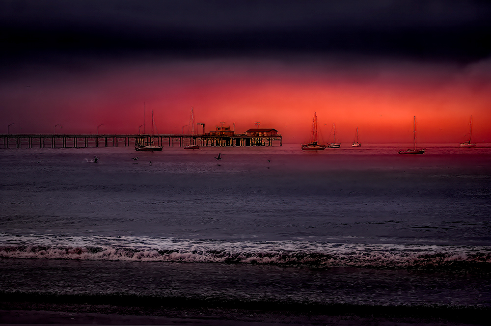
Avila Beach Sunset with sailboats and pier.
Avila Beach Sunset with Sailboats
Western USA Landscape Photography by Doug Heslep

Burney Falls

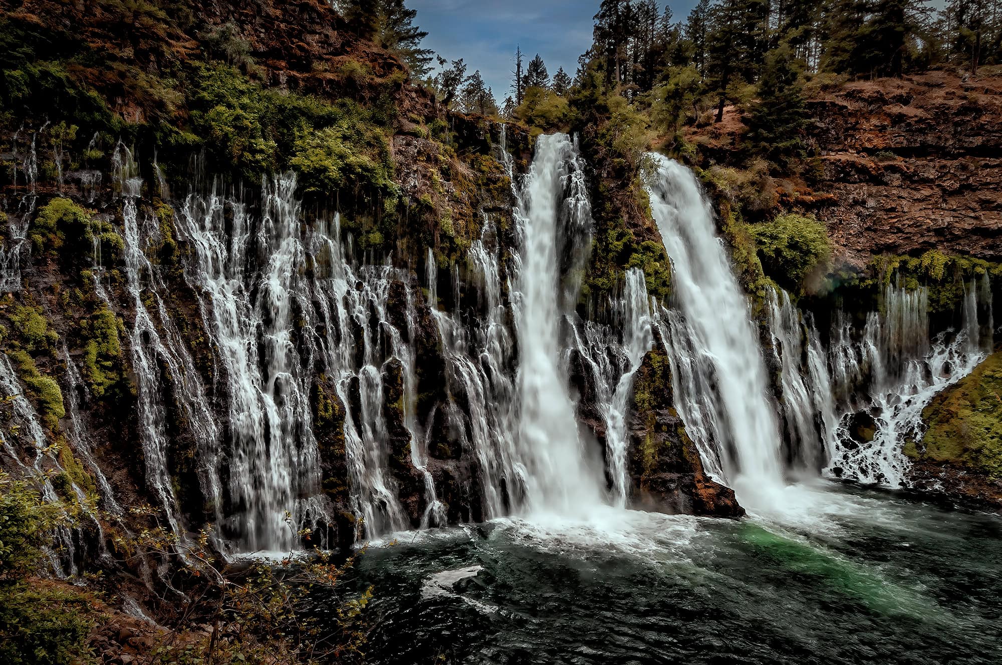
Burney Falls is found within McArthur-Burney Falls Memorial State Park, in an area of the North California Shasta Cascade region. The water for this spectacular 129-foot waterfall, which rarely gets higher than 42 degrees, is provided from merging underground and above ground springs. It has an almost constant flow rate of 100 million gallons per day year round.

Burney Falls during the day

BURNEY FALLS 1

A fisherman with Burney Falls

FISHING THE FALLS

Burney Falls

BURNEY FALLS 2

Burney Falls in square format

BURNEY FALLS 3

President Theodore Roosevelt proclaimed Burney Falls to be “The Eight Wonder of the World”. After my amazing experience there, with my senses still peaking as I remember the cold water mist blowing firmly on to my face, I definitely concur with his statement!

A black and white close up photograph of Burney Falls

BURNEY FALLS CLOSEUP 1

A black and white close up photograph of Burney Falls

BURNEY FALLS CLOSEUP 2

A black and white close up photograph of Burney Falls

BURNEY FALLS CLOSEUP 3

A black and white close up photograph of Burney Falls

BURNEY FALLS CLOSEUP 4

A black and white close up photograph of Burney Falls

BURNEY FALLS CLOSEUP 5

Eastern Sierra Nevada

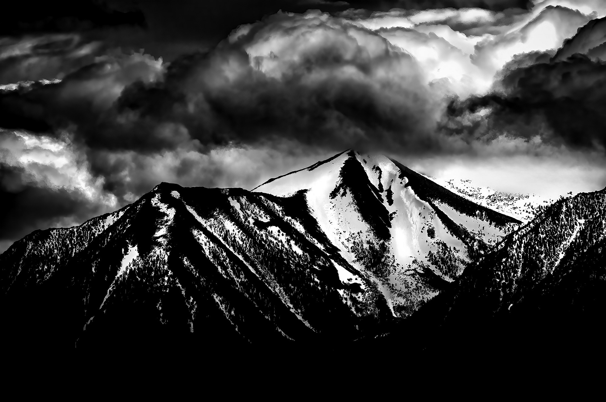
Eastern Sierra Nevada Mountains with snow

EASTERN SIERRA NEVADA 1

Eastern Sierra Nevada Mountains with snow

EASTERN SIERRA NEVADA 2

Eastern Sierra Nevada Mountains with snow

EASTERN SIERRA NEVADA 3

Eastern Sierra Nevada Mountains with snow

EASTERN SIERRA NEVADA 4

Snow-capped Eastern Sierra Nevada Mountains

EASTERN SIERRA NEVADA PANORAMIC

Eastern Sierra Nevada Mountains with snow

EASTERN SIERRA NEVADA 5

King’s Canyon National Park

King’s Canyon National Park is in the southern part, and along the western slope of the Sierra Nevada. It is a rugged glacier-carved valley more than a mile deep. It is surrounded by multiple 14,000-foot peaks, swift-flowing rivers, and complimented by some of the world’s largest giant Sequoia trees.

Before the descent into King's Canyon

BEFORE THE DESCENT

Before the descent into King's Canyon

Before the Descent 2

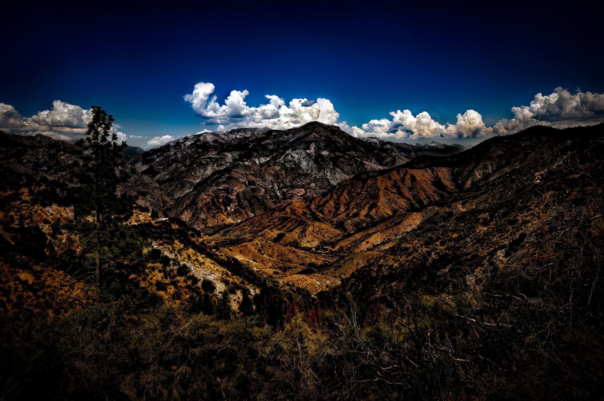
A view over the King's Canyon mountain tops

OVER THE MOUNTAIN TOPS

Burnt trees in front of a low riding storm cloud

FIRESTORM

The King's River flowing briskly after the snow melt

THE RAGING KING’S RIVER

A multi-tonal cascading view of hills reaching towards the horizon

CASCADING VIEW

Late evening view of a bare Split Tree and shrubs with Moon

SPLIT TREE AND MOON 2

Late evening view of a bare Split Tree and shrubs with Moon

SPLIT TREE AND MOON 1

Silhouetted shrubs against a cool blue evening sky

SILHOUETTED SHRUBS

Silhouetted shrubs in montage against a cool blue evening sky four up

SILHOUETTED SHRUBS COLLAGE 1

Silhouetted shrubs in collage form against a cool blue evening sky four up

Silhouetted Shrubs Collage 2

Silhouetted shrubs in collage form against a cool blue evening sky - two up

SILHOUETTED SHRUBS COLLAGE 3

Silhouetted shrubs in collage form against a cool blue evening sky -two up

SILHOUETTED SHRUBS COLLAGE 4

It was a full day trip to descend into the valley and travel the length of the 31 mile Scenic Byway, from the entrance of the park to Kanawyers Loop where the road ends, and back. Of course multiple stops were made to take in as much of the beauty as possible. A few references would be the multiple towering peaks that dwarfed everything as the path descended deeper into the valley, the raging rivers that demanded to be left alone, or the giant sequoia trees that you have to see to believe to appreciate how massive they really are. One being the General Grant, which measured by trunk volume is the second largest tree in the world.

 An upward view of the General Grant tree with blue skies in King's Canyon

THE GENERAL GRANT TREE 1

A black and white photo of an upward view of the General Grant tree with dark skies in King's Canyon

THE GENERAL GRANT TREE 2

An upward view of the General Grant tree with dark skies in King's Canyon

THE GENERAL GRANT TREE 3

Looking through a downed sequoia tree towards a younger sequoia tree in King's Canyon

FALLEN MONARCH: WINDOW OF TIME

A black and white photo of a tree living on the edge of a cliff in King's Canyon

LONE WOLF 1

 a tree living on the edge of a cliff in King's Canyon

LIFE ON THE EDGE

 The grand finale of the day was when I ascended from King’s Canyon and was blessed with a mesmerizing sunset that engulfed the distant mountain range. I couldn’t believe my eyes! Overall, this entire experience was very rewarding, and truly glorious!

Colorful sunset while looking west across the mountain range after exiting King's Canyon

KING’S CANYON SUNSET 1

Colorful sunset while looking west across the mountain range after exiting King's Canyon

KING’S CANYON SUNSET 2

Lake Tahoe

Delicately nestled amidst the awe-inspiring Sierra Nevada mountains, this timeless masterpiece embodies the epitome of natural allure. Enjoy the splendor of the charm of this two-million-year-old freshwater sanctuary, where the shimmering clarity of its crystalline waters meld harmoniously with the panoramic majesty of its surrounding snow capped peaks.

Black and White photo looking across Lake Tahoe with rocks in the foreground and snow covered mountains in the background

LAKE TAHOE 1

Black and White photo looking across Lake Tahoe with rocks in the foreground and snow covered mountains in the background

LAKE TAHOE 4

Black and White photo looking across Lake Tahoe with rocks in the foreground and snow covered mountains in the background

LAKE TAHOE 2

Black and White photo looking from to the east on Hwy 50 towards Lake Tahoe

LAKE TAHOE 5

Black and White photo looking across Lake Tahoe with rocks in the foreground and snow covered mountains in the background

LAKE TAHOE 3

Black and White photo looking from to the east on Hwy 50 towards Lake Tahoe

LAKE TAHOE 6

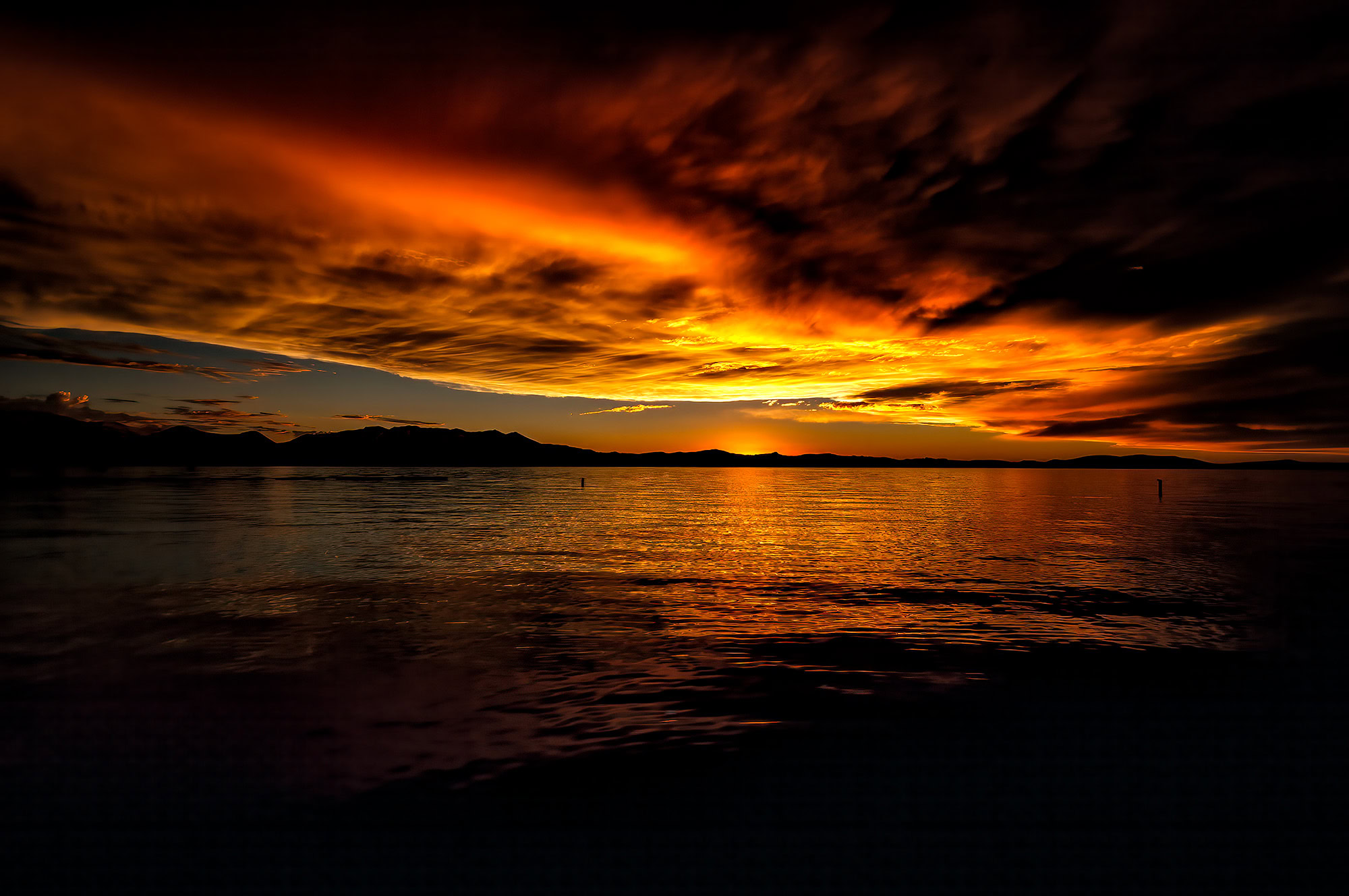
As the largest alpine lake in North America, Lake Tahoe beckons explorers with its vast expanse and unspoiled splendor. Plummeting to depths of 1,645 feet, which make is the second deepest lake in the United States, as it spans across a mesmerizing 193 square miles. It is a treasured destination that captivates all who venture to its tranquil shores. A unique and beautiful sunset is just one of the perks!

A spectacular sunset looking across Lake Tahoe

LAKE TAHOE SUNSET 1

A black and white photo of a spectacular sunset looking across Lake Tahoe

LAKE TAHOE SUNSET 3

A spectacular sunset looking across Lake Tahoe

LAKE TAHOE SUNSET 2

A black and white photo of a spectacular sunset looking across Lake Tahoe

LAKE TAHOE SUNSET 4

A couple kissing in silhouette framed by a sunset on Lake Tahoe

ROMANCE IN TAHOE

Morro Rock

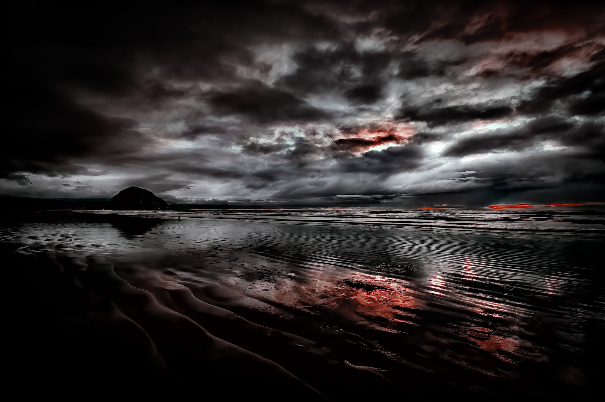
This State Historic Landmark, formed millions of years ago, is volcanic plug that rises with significance as part of the coastal chain known as the ‘Nine Sisters of San Luis Obispo County.’ With its majestic presence overlooking Morro Bay, residents affectionately refer to the town as ‘3 Stacks, 1 Rock,’ a nod to the iconic smoke stacks that once graced the old neighboring power plant. Imposing and awe-inspiring, this massive natural formation  is on California’s Central Coast, standing 578 feet tall and commanding attention as it emerges from the Pacific Ocean.

Morro Rock silhouetted by a soothing sunset as seen from Morro Strand State Beach

MORRO ROCK BEACH VEIW 1

Black and White photo of Morro Rock silhouetted by a soothing sunset as seen from Morro Strand State Beach

MORRO ROCK BEACH VIEW 2

Morro Rock and two of the three stacks from the shuttered power plant

A SLICE OF MORRO ROCK AND TWO FINGERS

Morro Rock is one location in particular that stands out for me because of how much of a pleasant surprise it was. From time to time, I make an effort to visit a local diners, shops, and motel front desks during my travels. I would inquire about any special landmarks unique to their area. Maybe even those that aren’t as well known. This one particular time it was suggested I visit Morro Bay on the Pacific Coast Highway. It was a little out of the way, but when the clerk said I would know I was there when I saw a large rock on the beach…   well, that decided that.

Mount Shasta

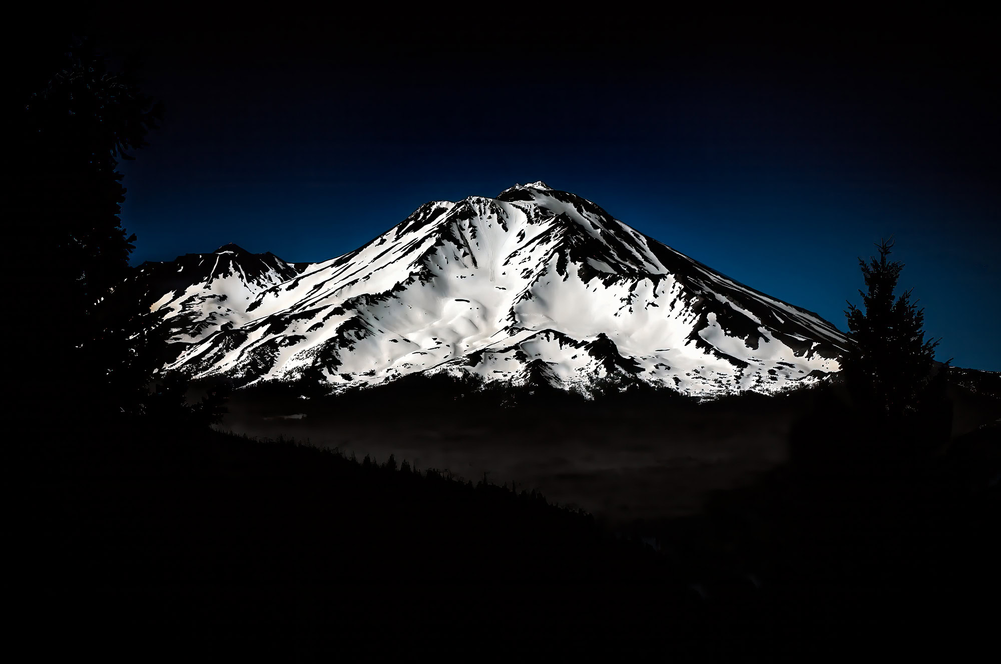
Mount Shasta is potentially an active stratovolcano located in the Shasta-Trinity National Forest. It is the largest mountain in the Cascade Chain, which runs from southwestern British Columbia to Northern California. It rises to an elevation of 14,179 feet above it’s surroundings, and even has seven named glaciers on it. On a clear winter day, the same as I indeed experienced, the mountain can be seen from the floor of the Central Valley 140 miles to the south.

An evening view of Mount Shasta and Black Butte as seen from Castle Lake

MOUNT SHASTA and BLACK BUTTE 1

A black and white photo of an evening view of Mount Shasta and Black Butte as seen from Castle Lake

MOUNT SHASTA and BLACK BUTTE 2

A snow covered Mount Shasta with a cool blue sky background

MOUNT SHASTA 1

A black and white photo of snow covered Mount Shasta

MOUNT SHASTA 2

Mount Shasta has a mystical appeal and was known as a sacred place and the center of our universe to Native Americans. Today that energy still resides in the hearts of many for it is known as the root chakra of the world, promoting it as a place for healing properties and spiritual connections. With this as a mindset, I am confident my dog, Hallie, felt the magic with every paw print she made with her ongoing zoomies in the snow… that we found upon traveling the lower forest backroads looking for the best angles to photograph the snow covered beast I had in front of me!

Pacific Grove and 17-Mile Drive

Pacific Grove coastal view

PACIFIC GROVE COASTLINE

Pacific Grove Moon

PACIFIC GROVE QUARTER MOON

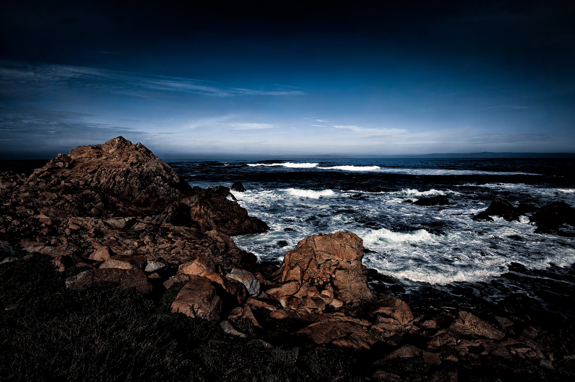
Waves splashing against rocks on the Pacific Grove coastline

CRASHING WAVES IN PACIFIC GROVE

Yosemite National Park

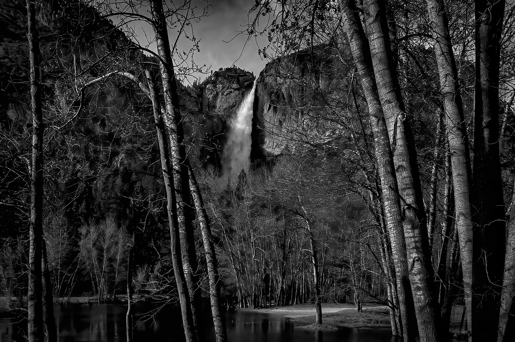
Yosemite National Park, the very birthplace of the national park movement, is where you can explore the magnificent ancient sequoia groves, majestic granite domes that dwarf even the iconic Empire State Building, and thunderous waterfalls that dot the landscape. Yosemite Valley itself stretches across nearly eight miles from east to west, with a  pristine wilderness as you venture into the Southeast, where the Sierra National Forest awaits, or delve into the Northwest, where the majestic Stanislaus National Forest beckons.

A look thru Valley View in Yosemite National Park

Valley View Panoramic 1

A look thru Valley View in Yosemite National Park

Valley View Panoramic 2

Thunderous water of Bridalveil Fall in Yosemite National Park

Bridalveil Fall 3

Western USA Landscape Photography by Doug Heslep

Bridalveil Fall 4

Bridalveil Fall in Yosemite National Park

Bridalveil Fall 1

Bridalveil Fall in Yosemite National Park

Bridalveil Fall 2

A view downstream through the trees of Bridalveil Fall in Yosemite National Park

Bridalveil Fall 5

Upper Yosemite Falls in Yosemite National Park

Upper Yosemite Falls 2

Upper Yosemite Falls framed thru trees.

Upper Yosemite Falls 1

A wide view of Upper Yosemite Falls

Yosemite has long been a place of inspiration for artists, climbers, and nature lovers, and remains one of California’s most popular places to visit. Beginning in the 1920’s, Ansel Adams’ stunning black & white photographs of Yosemite drew attention to the park’s breathtaking landscapes. I have always been inspired by his iconic imagery, and thus came the encouragement to choose this breathtaking location as the first stop of my California photographic adventure.

The sweeping flow of Ribbon Fall in Yosemite National Park

Ribbon Fall 1

The sweeping flow of Ribbon Fall in Yosemite National Park

Ribbon Fall 2

Ridgeline with trees and an angry sky

Angry Sky Above The Ridgeline

Cascade Fall in Yosemite National Park

Cascade Falls 1

Cascade Falls in Yosemite flows beautifully amongst the dense forest

Cascade Falls 2

Trees along the ridgeline in Yosemite

Trees Along the Ridgeline

Close up view of Cascade Falls in Black and White

Cascade Falls 3

Protected by Security by CleanTalk